 Hours: Daily, 5 a.m.–10 p.m.
Phone: 952-891-7000
Address: 1498 Mendota Heights Road, Mendota Heights (Driving directions)
Admission: Free
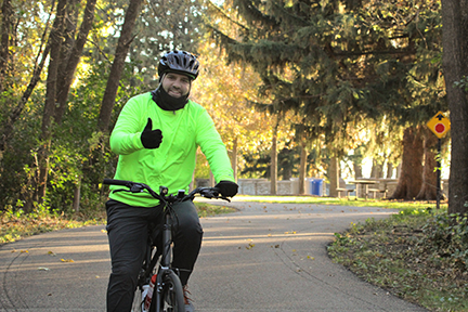
Located along the northern edge of Dakota County from Eagan to Lilydale, the Big Rivers Regional Trail is a scenic paved trail. It overlooks the meeting of the Minnesota and Mississippi rivers.
The trail links to the Mississippi National River and Recreation Area, hundreds of miles of trails and historic landmarks, including Fort Snelling, Pike Island and, one of Minnesota's oldest settlements, the city of Mendota.
The trailhead provides access to a nearly flat paved trail built on an abandoned railroad bed. Highway 55 in Mendota Heights, Interstate 494 in Eagan, and Interstate 35E in Mendota Heights are additional access points.
Lone Oak Trailhead closed
The Lone Oak Trailhead, the parking lot and a short segment of the nearby trail is closed for bridge construction. The trail can be accessed at the Big Rivers Trailhead. The construction area is closed to the public. Go to Minnesota River Greenway project page.
Maps: All Season Map
For geo-enabled maps, download Dakota County Parks maps on the Avenza app.
Park Ordinance
Trail conditions
Amenities
- Portable toilets at Lone Oak Trailhead and Lilydale Trailhead
- Restrooms at Big Rivers Trailhead
- Picnic shelter and picnic area at Big Rivers Trailhead
- Drinking water at Big Rivers Trailhead (May-October)
- Free parking
Activities