 Through
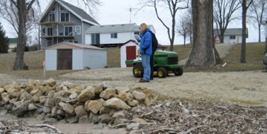
 County Ordinance 50 - Shoreland and Floodplain Management, the county regulates shoreland and floodplain in the 13 unincorporated townships of Dakota County.
In addition to township permits, county permits are required for:
- Construction activities
- Grading and filling
- Septic system installations
- Removal of vegetation within 300 feet from rivers and 1,000 feet from lakes, including the Spring Lake on the Mississippi River, the Cannon River, and any land located in floodplain areas
The county has floodplain maps and information for every parcel in the county. The county can assist you with data interpretation, completing FEMA forms, and answering questions about flood insurance. Please call if you have questions about floodplain on your property.
 Perennial vegetative buffers
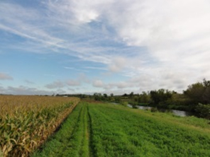
Perennial vegetative buffers are required countywide for cultivated land along all Minnesota Department of Natural Resources public waters and county ditches. The buffer width for land along a DNR public water is 50 feet. The buffer width along public ditches is 16.5 feet.
Dakota County has two public ditches: County Ditch No. 1 and No. 2. Portions of both are DNR public waters and require a 50-foot buffer. Ditch laterals along Ditch No. 2 in Waterford and Castle Rock townships are not public waters, and only require a 16.5-foot buffer.
 See a map of DNR designated public waters in Dakota County.
Permit applications
For building and zoning permit forms, see the
Building & Zoning Permits page.
Homeowner resources
Dakota Soil and Water Conservation District
Landscaping for Clean Water
Docks and Access on DNR Public Waters
Lakescaping and Shoreland Restoration
Restore Your Shore
Riprap
For more information contact Dee McDaniels at
dee.mcdaniels@co.dakota.mn.us or 852-891-7024.